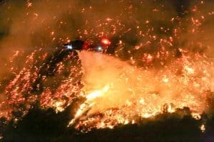
In the year since the catastrophic wildfires and urban infernos that swept across Los Angeles County—including the Eaton and Palisades fires of January 2025—conversations about blame, accountability, and cause have dominated headlines. Some have pointed toward utility infrastructure like Southern California Edison in the Eaton Fire, even as formal determinations of cause remain pending. But whether the ignition originated from an aging line, fallen conductor, or human activity, one truth remains: wildfire doesn’t care. It will burn wherever fuel and weather allow.
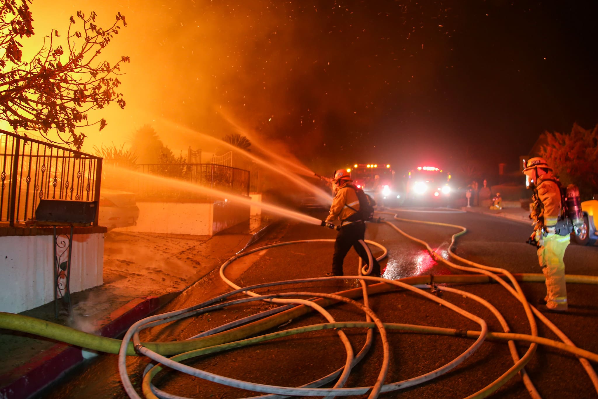
Fire doesn’t discriminate. If combustible vegetation, structures, and embers align with extreme wind and dryness, the results can be devastating. In wildland-urban interface communities, homes are often the second most likely thing to burn once surrounding vegetation ignites. Protecting structures from ember intrusion, radiant heat, and direct flame contactremains the most effective strategy to reduce building ignitions—especially in high-wind, low-humidity fire events. Older homes and infrastructure not designed for extreme fire weather only increase vulnerability.

This pattern of escalating risk is not isolated to Southern California. Globally, communities are feeling the heat of intensified fire seasons.
In Chile, a severe outbreak of wildfires in January 2026 ravaged central and southern regions, resulting in at least 19 confirmed fatalities and forcing more than 50,000 people to evacuate their homes as blazes consumed forests, towns, and infrastructure. President Gabriel Boric declared a state of catastrophe in the Biobío and Ñuble regions, mobilizing military support and emergency operations as firefighters battled dozens of active fires. Hundreds of homes have been destroyed or damaged, and thousands more residents remain displaced as conditions remain hazardous.
These fires—driven by prolonged heat, extreme dryness, and gusty winds—demonstrate how fire knows no borders. They strike communities large and small, urban and rural alike, leaving in their wake both human tragedy and displacement.
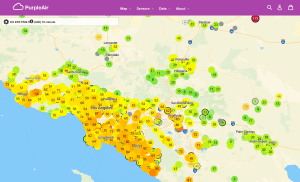
The wildfire threat also remains heightened across California. Updated fire hazard data shows that areas once considered marginal are now classified as high or very high fire hazard zones, exposing more communities to significant fire risk than ever before.
In Los Angeles County, well-known neighborhoods—including the Hollywood Hills, Mount Washington, Sylmar, Malibu, Topanga Canyon, Brentwood, Altadena, and other hillside communities—face risk from embercast, wind-driven fire spread, and structural vulnerability. These areas are surrounded by brush-covered slopes, steep terrain, and vegetation corridors that can carry flames and embers deep into urban neighborhoods, challenging both fire response and evacuation routes.
This increased risk is part of a broader trend: as climate change warms and dries landscapes, fire seasons lengthen and intensify. Research estimates that millions of Americans now live in areas susceptible to catastrophic fire, many far beyond traditional wildland boundaries.
Wildfire doesn’t care about jurisdiction, wealth, or preparedness. It doesn’t wait for perfect weather conditions, clear responsibility, or easy solutions. If fuel and weather conditions align, fire will use them. But there is something we can control: how we prepare, build, educate, and respond.
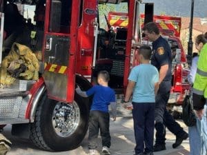
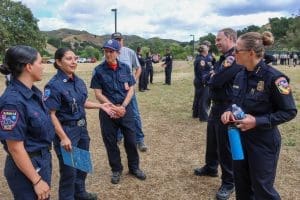
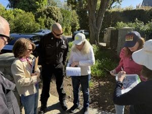
That’s central to the mission of MySafe:LA—to help communities understand wildfire risk honestly and collaboratively and to support actions that increase resilience at every level. Whether through community education, defensible space initiatives, structural hardening guidance, or partnerships with local fire departments and planners, our work focuses on empowering people with knowledge and solutions.
If we are serious about reducing the toll of wildfire—from Hollywood to Malibu—we must first acknowledge fire’s indifferent nature and then work together to address the real factors that determine whether a community survives the next blaze.