Major containment gains on the Springs and Crown fires over the last 24 hours — and a new Riverside County fire on Sunday — are a reminder that preparedness starts now, not in summer.
It’s April, and wildfires are already upon us in Southern California.
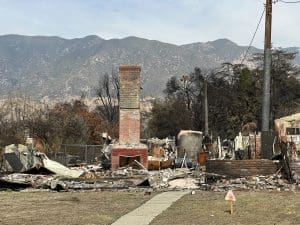
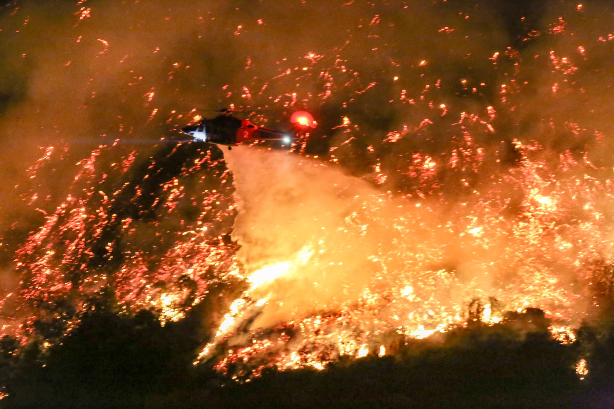
Southern California is getting an early reminder that wildfire danger does not wait for summer. By Sunday, April 5, CAL FIRE’s incident pages showed 504 wildfires statewide and 6,639 acres burned in 2026. In Southern California, firefighters were tracking the 4,176-acre Springs Fire east of Moreno Valley, the 385-acre Crown Fire near Acton, and the newly posted Serena Fire in Riverside County.
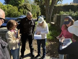
The encouraging news is that the response has been fast and effective. As of Sunday morning, CAL FIRE reported no new activity on both the Springs Fire and the Crown Fire, with both incidents at 95% containment. On the Springs Fire, the incident page listed 147 personnel, 15 engines, six crews, two water tenders, and numerous air tankers assigned. Riverside County emergency managers said Sunday afternoon that all Springs Fire evacuation orders and warnings had been canceled and the evacuation shelter was closing, while Crown Fire evacuation warnings had already been lifted.
This is April, not August, and that matters. On Friday, April 3, the National Weather Service in Los Angeles/Oxnard warned of moderate to locally strong Santa Ana winds through Saturday, with northeast winds of 20 to 35 mph, gusts up to 50 mph, and elevated grass-fire activity across parts of the region.
That is why now — not later — is the moment to prepare. Start by downloading the Watch Duty app to your phone. Watch Duty says its map is available in a web browser, but browser access does not send notifications. Our website has also highlighted Watch Duty for its real-time alerts, interactive fire maps, and customizable notifications.
Then learn your zone and memorize it. Our website has previously explained that the City of Los Angeles uses zone mapping from Genasys and that residents need to know the zone where they live. Watch Duty’s support guidance says residents in counties using Genasys Protect can look up their evacuation zone by address, while residents in counties that do not use Genasys should check their county website.
Preparedness is more than an app alert. WildfireLA’s SET guidance says being set means having your wildfire plan ready, loading emergency supplies for every person and pet into your vehicle, and signing up for the right notification systems. Its GO guidance says that when you are unsure, it is better to leave early — especially if someone in your household has mobility challenges.
Visit WildfireLA’s SET and GO pages today, talk through your evacuation plan, and make sure everyone in your household knows your zone. The firefighters are doing their part. The rest of us need to do ours — before the next plume of smoke is on the horizon.